Urban & Town Planning
AutoCAD
GIS
Revit
ARCHIREFLEX
Urban & Town Planning
AutoCAD
GIS
Revit
ARCHIREFLEX

06
Service
Master planning and urban design for residential communities, mixed-use developments, and commercial districts with comprehensive site analysis.
Master planning and urban design for residential communities, mixed-use developments, and commercial districts with comprehensive site analysis.
Discuss scope
We reply within 24 hours.
Deliverables
What You Receive
Framework plan
Blocks, open space, and movement spines.
Land use
Zoning overlays and frontage types.
Sectional strategy
Topography + built form relationships.
Public realm
Plazas, edges, and landscape structure.
Mobility
Pedestrian priority, parking, and access.
Story booklet
Narrative for stakeholders and planners.
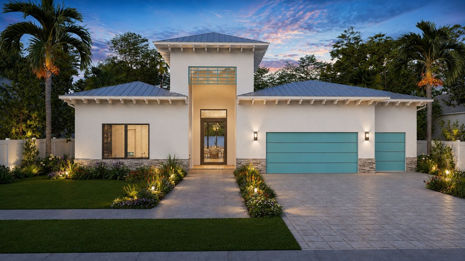
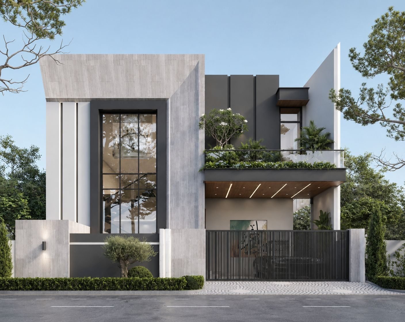
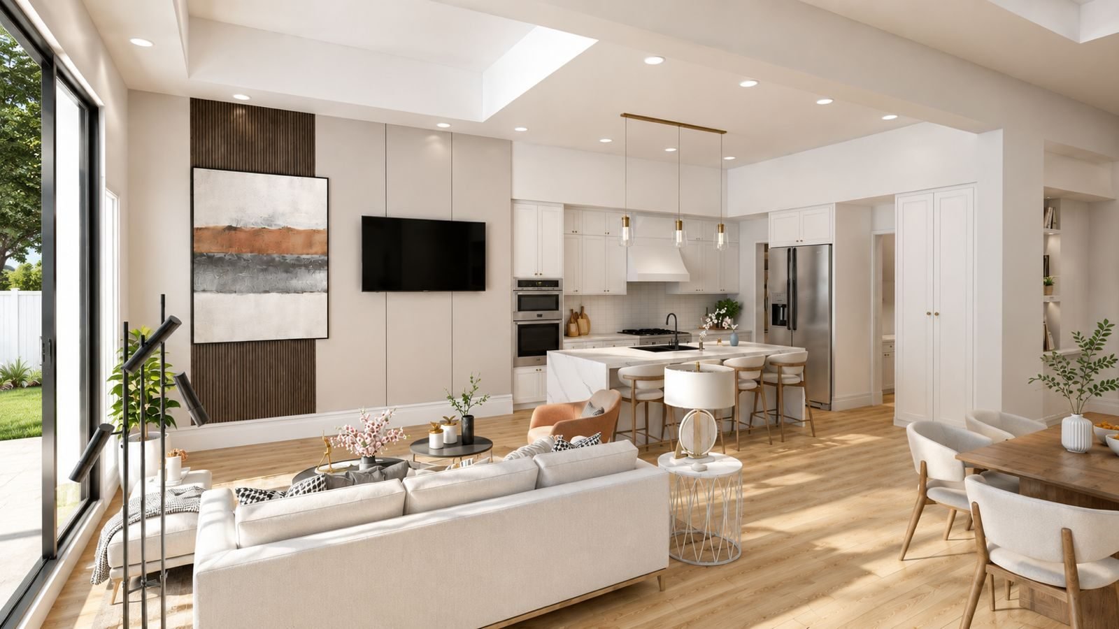
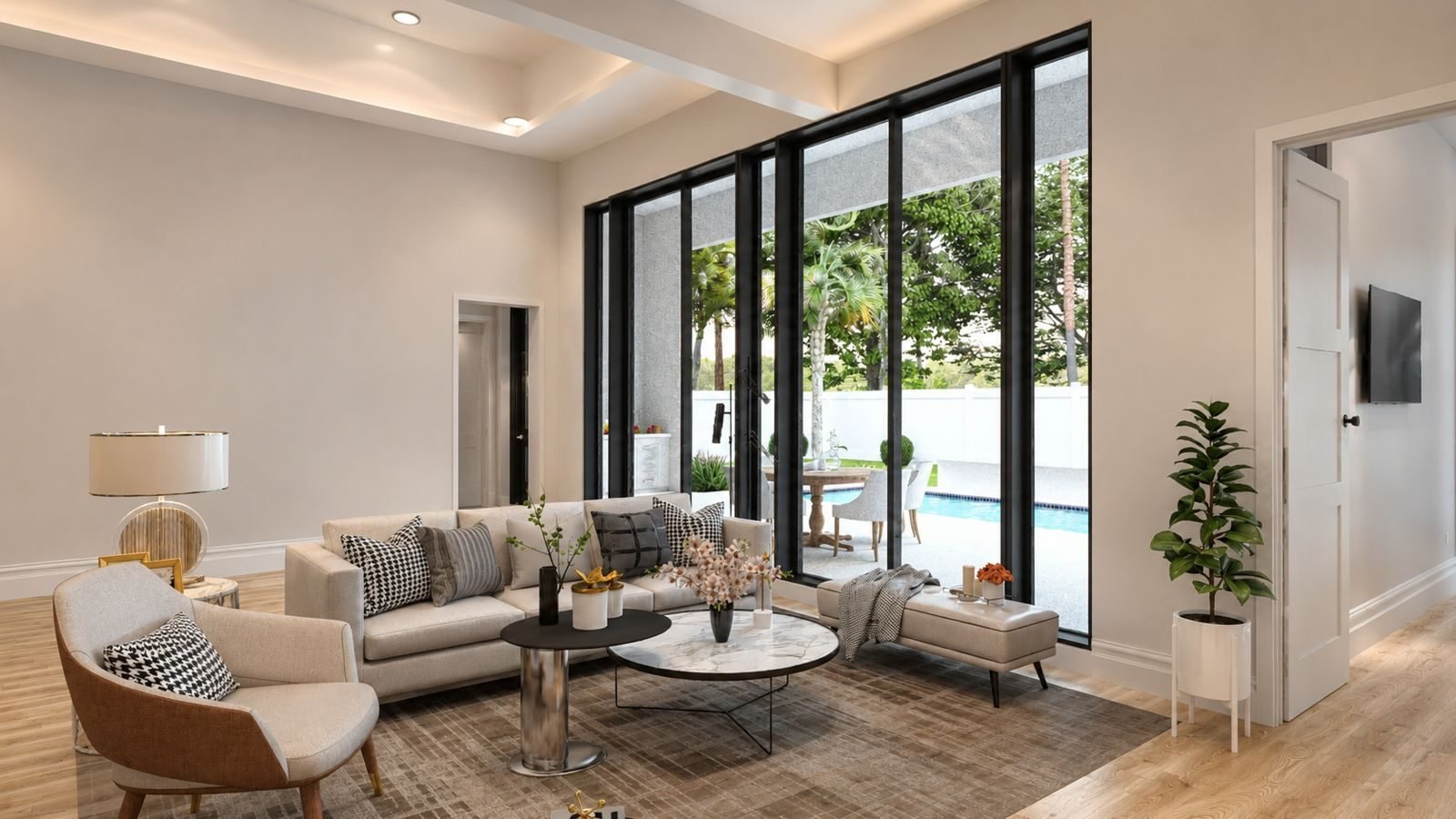
Samples
Visual Gallery


How We Work
Our Process
-
01Diagnostics
Policy, ecology, and movement audit.
-
02Options
2–3 spatial frameworks with metrics.
-
03Preferred
Refined plan with phasing logic.
-
04Graphics
Boards + booklet for submission.
Specifications
Technical Notes
Output
Graphics
Vector + annotated plans
Scale
1:1000–1:5000 depending on site
Booklet
Digital PDF + print export
Project
Workshops
Stakeholder sessions optional
Data
Client-supplied GIS preferred
Phasing
Illustrated when required
Investment
Custom Quoted
Transparent scoping
Milestones priced after review
We confirm deliverables, rounds, and calendars before invoices move.
Includes
- Diagnostic summary
- Two framework options
- Preferred plan package
- Public realm diagrams
- Submission booklet
Request a quote
No obligation consult first.
★★★★★
“Framework diagrams made the public review intelligible — that was the win.”
What We Do
Our Services
Ready to scope
Let's Name the Deliverables
We translate goals into a checklist you can approve — then we execute against it.